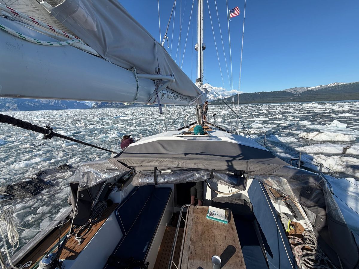
Sailing off the Chart in LeConte Bay
Near LeConte Glacier in southeast Alaska, the chart stopped describing the world around us. What began as a navigation problem became a question about uncertainty, judgment, and why we sometimes look for permission when we already have enough information to decide.

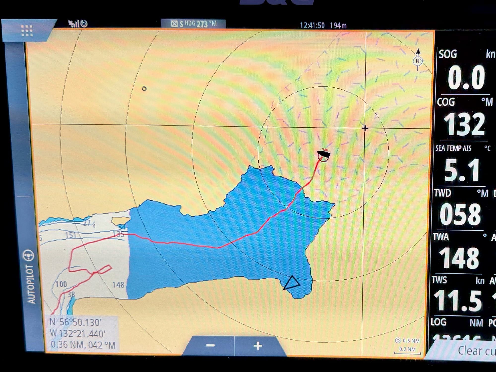
Yesterday we sailed through the middle of a glacier, according to the chart plotter.
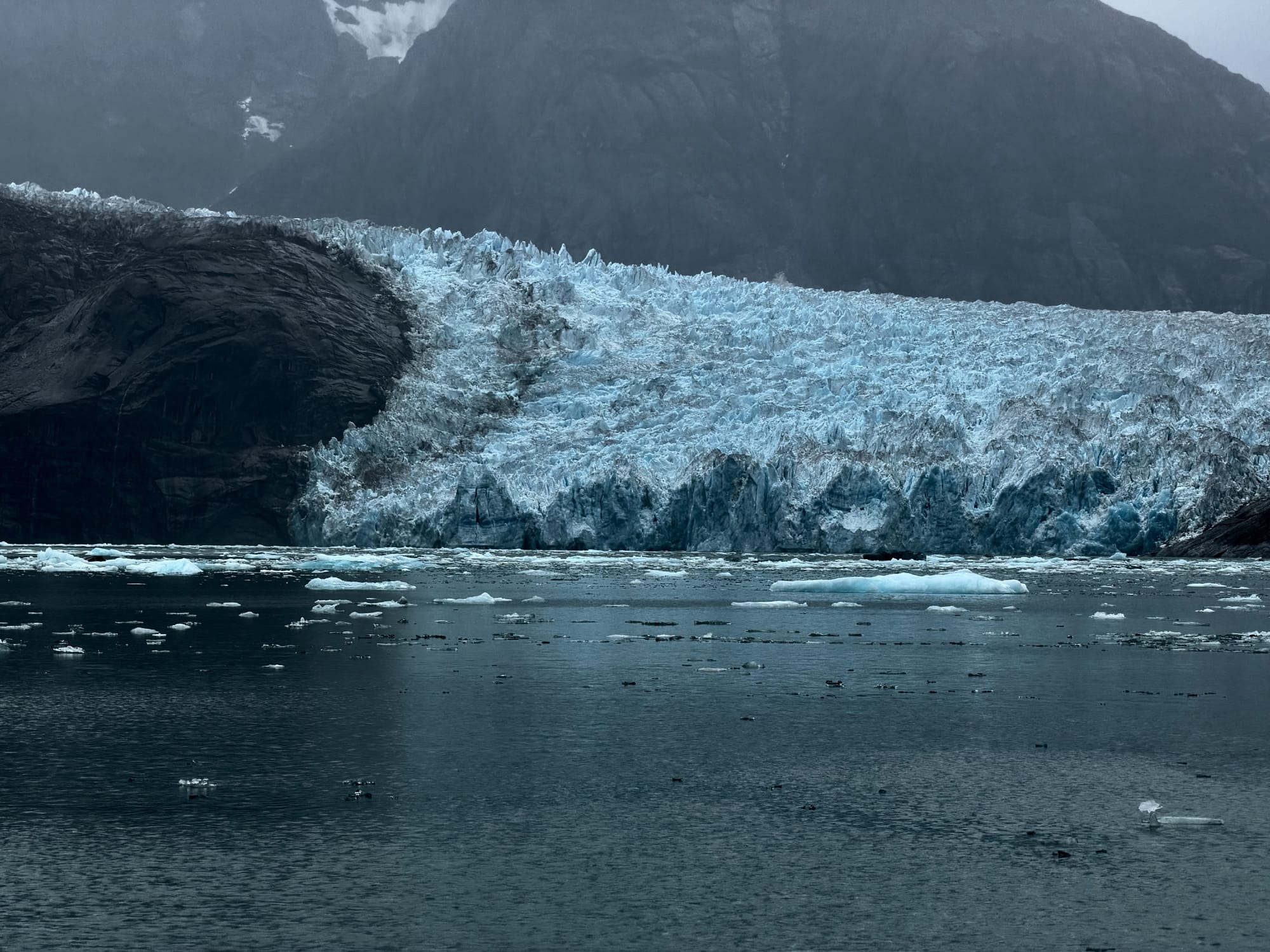
We spent the day in LeConte Bay, in southeast Alaska, working toward the southernmost tidewater glacier in the Northern Hemisphere. It sits at 56°56′N — roughly the latitude of Ben Nevis in Scotland, or Gothenburg in Sweden. It is five degrees further south than the southernmost tidewater glacier in Greenland.
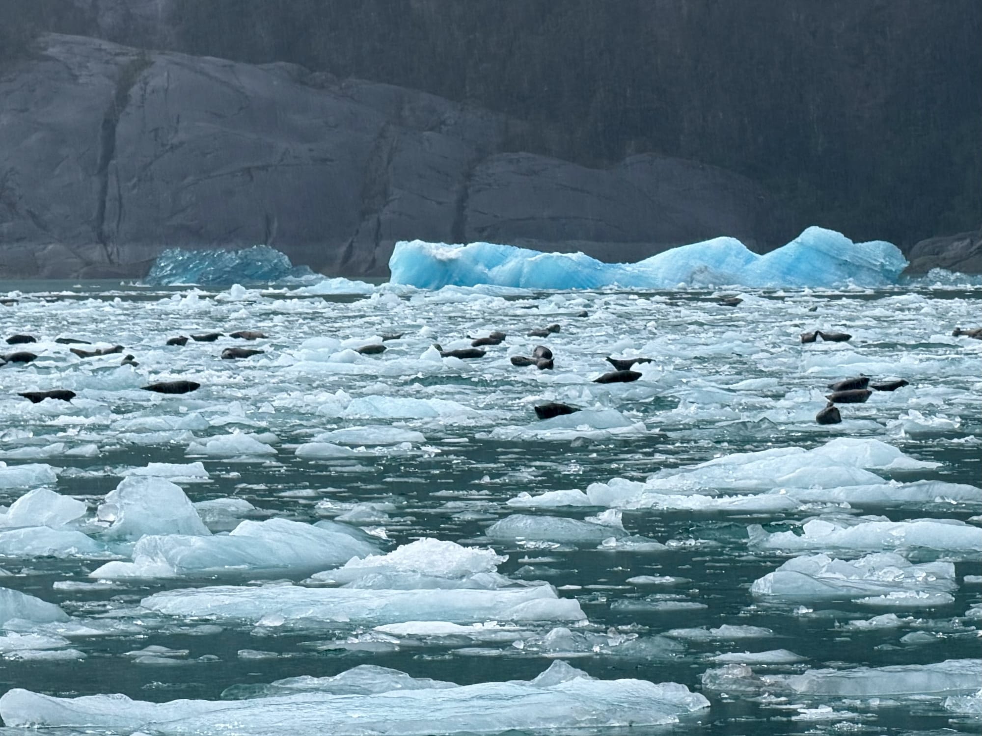
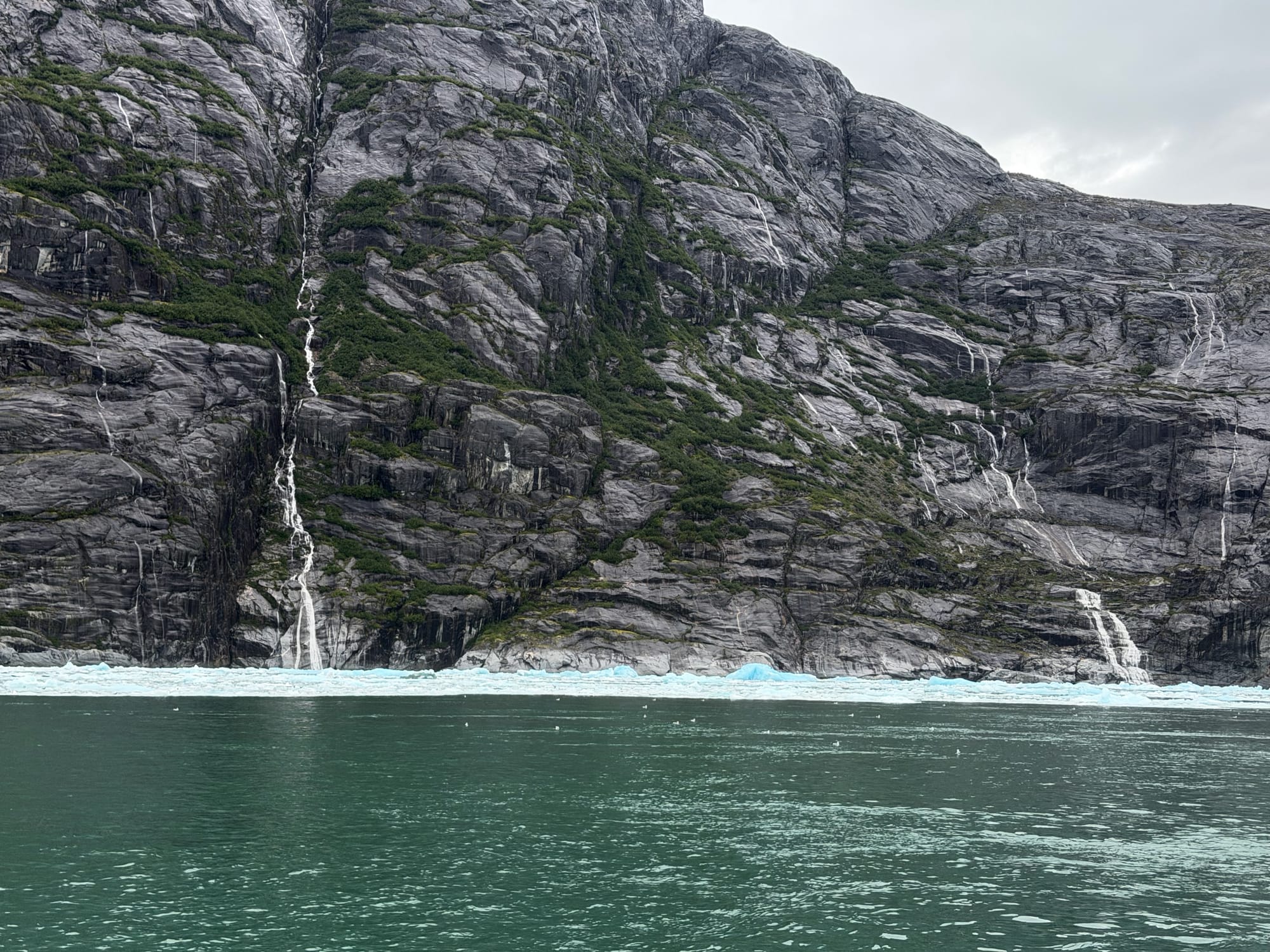
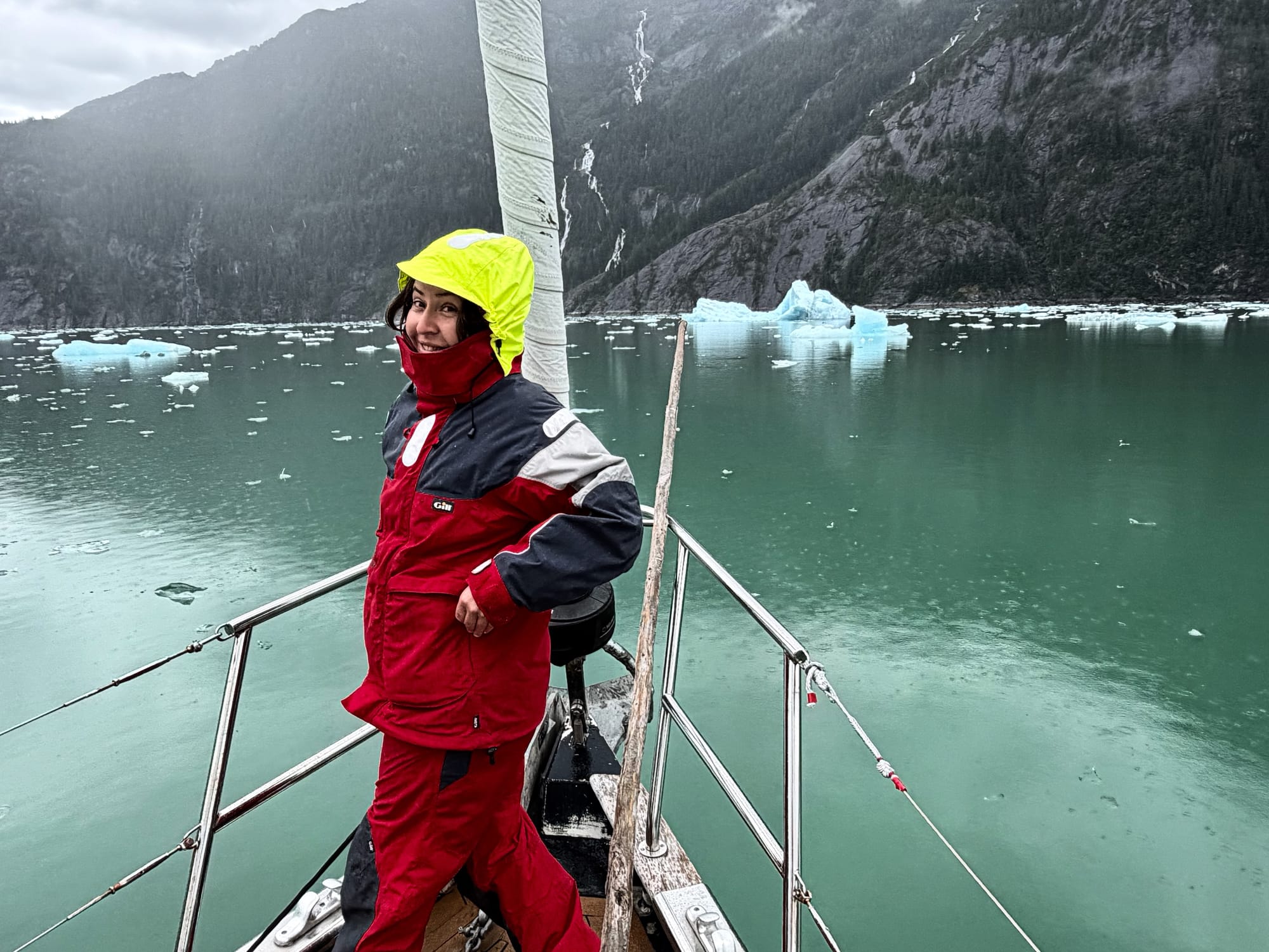
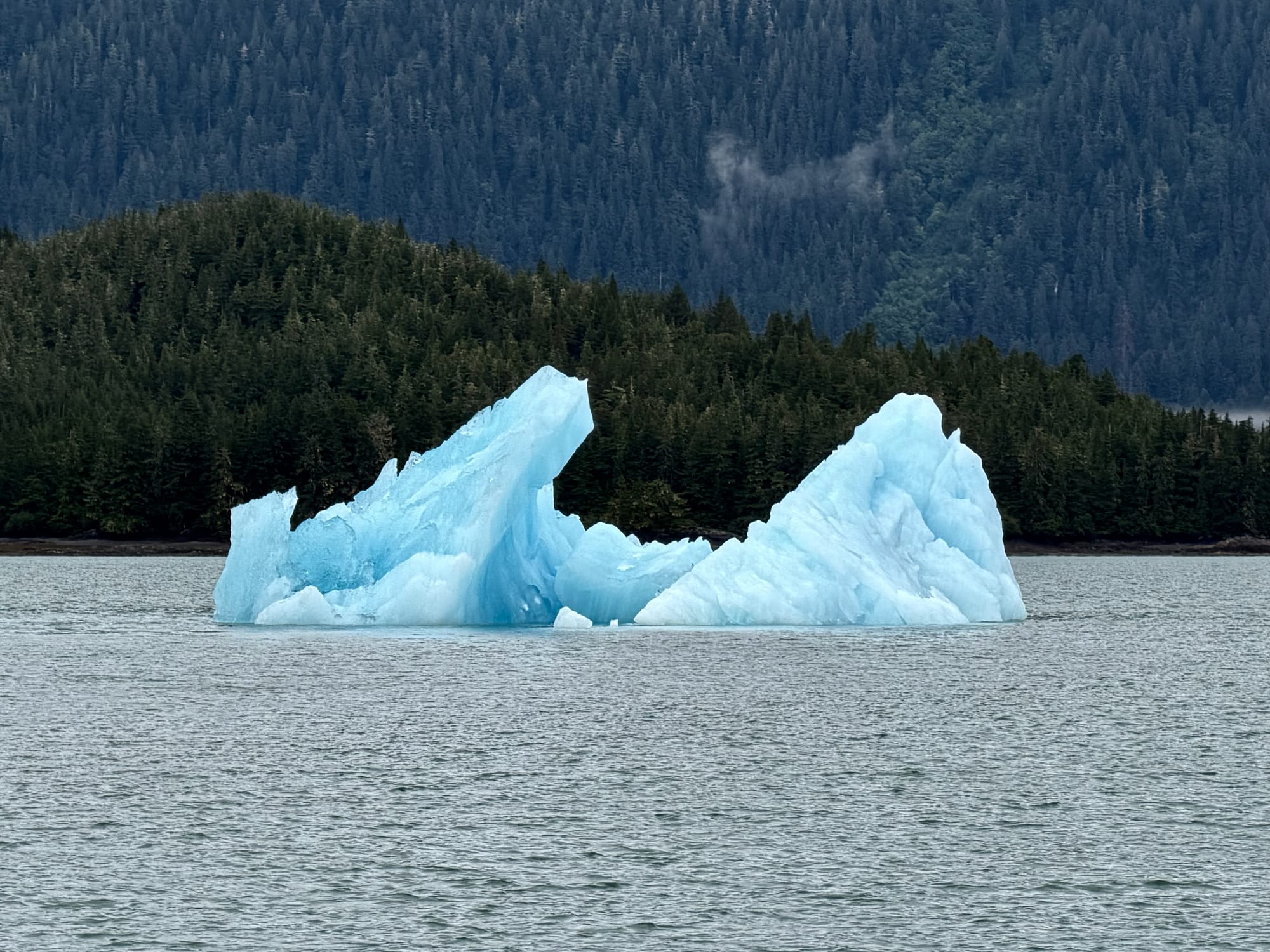
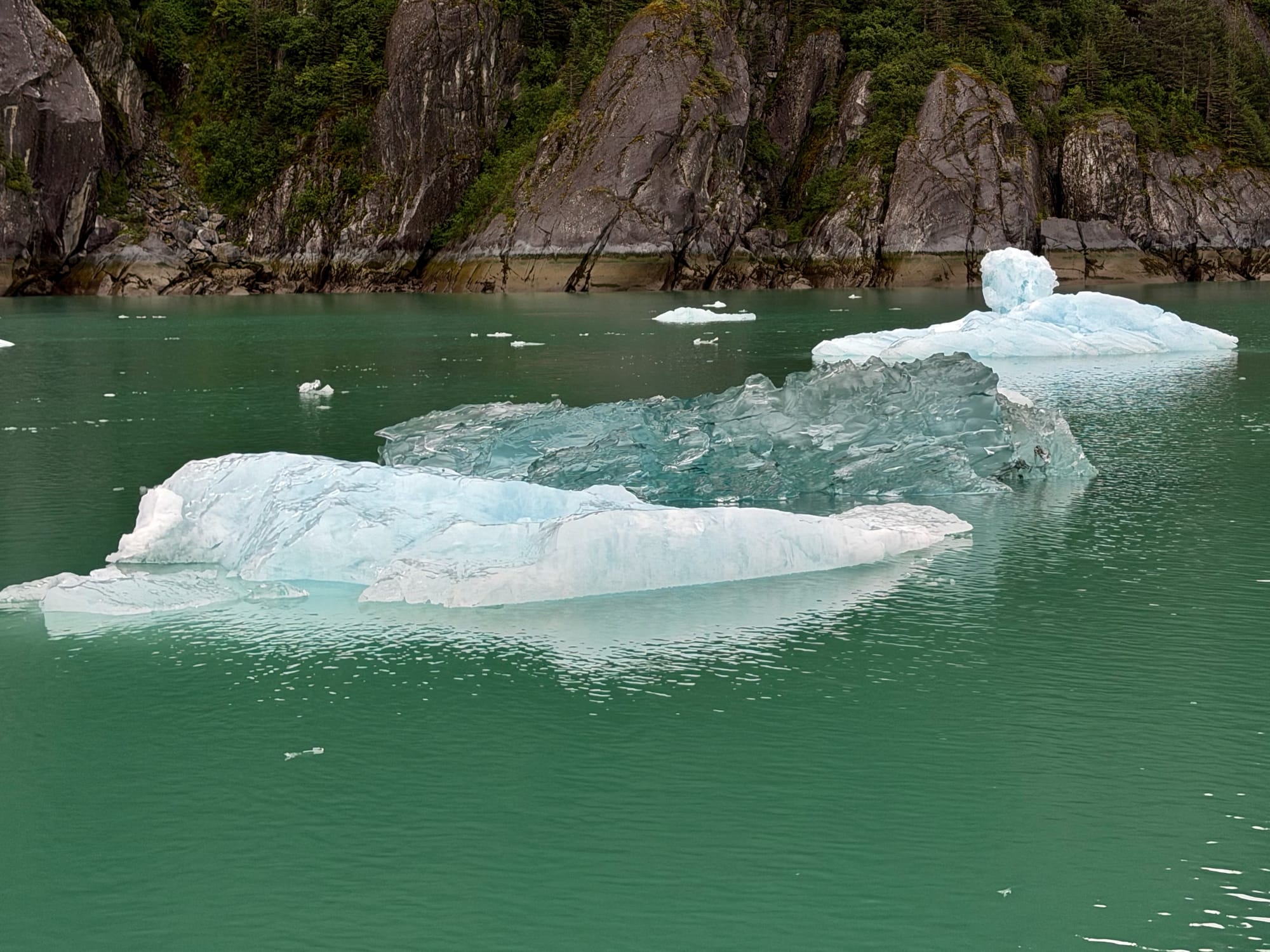
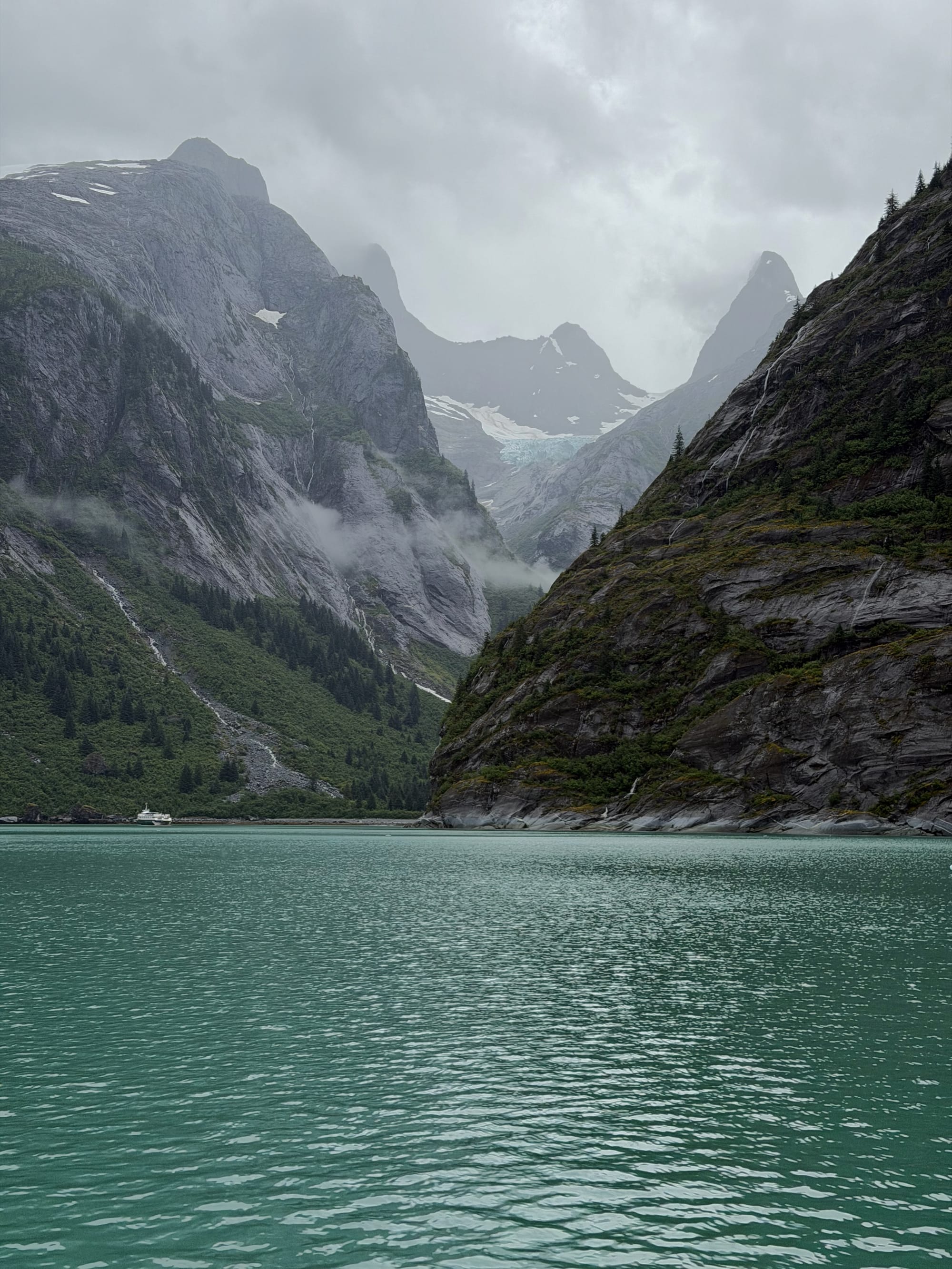
The glacier and the bay are also strikingly beautiful. Unlike most glaciers, whose ice is white and full of air, sometimes stained with dirt, LeConte's ice is mostly deep blue, sometimes crystal clear. It feels qualitatively different. The valley is closed in by near-vertical rock faces. The rain sharpened it: the faces went almost black, and temporary waterfalls formed where the rain collected and ran off the rock.
Like most glaciers, LeConte is retreating. From historical satellite imagery, it seems to have pulled back about 1.5 km since 1985. And although the bay draws its share of tourist boats, the head of it — the last three miles before the ice — is not really charted. The sources disagree. Some mark it simply as uncharted. Some show sonar data that looks entirely reliable. Others try to represent the position of the glacier itself.
That threshold gave us a dilemma. Stay safely in charted water, or venture past the chart? We couldn't resolve it, so we stopped the boat and had lunch. Lunch produced no answer. So we looked for one elsewhere. The seals hauled out on the ice — proof, at least, that there was enough water to hide a seal. Then a tour operator came through and didn't slow where the chart showed almost no depth. We followed him. We called him. He didn't seem to understand what we were worried about.
That's when it struck me. Why did I need a local to reassure me before deciding? Why follow someone instead of simply moving forward, slowly and carefully? What I wanted from that operator wasn't information. It was permission.
So we went into the empty space on the plotter. We slowed down and watched the sounder, the shoreline, the ice. The screen was still on. Its authority was gone. For two miles that was unnerving and, I'll admit, exhilarating.
We had more than 200 meters of water under the keel where the app said we should have less than one. Eventually the plotter placed Adak inside a glacier that is no longer where it was when the chart was drawn.
The GPS still knew exactly where we were. But knowing our position stopped being reassuring once the map underneath us could no longer describe what was actually there. I hadn't realized how reassuring a chart is until it disappeared.
Related Posts
 Jean Peccoud